CongoFlux
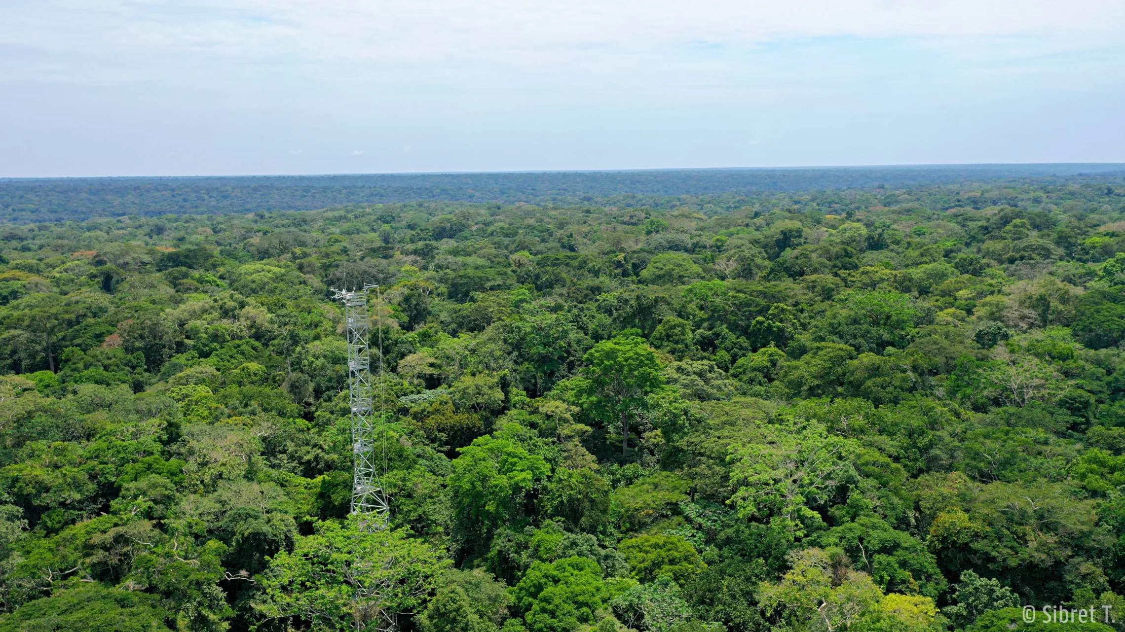
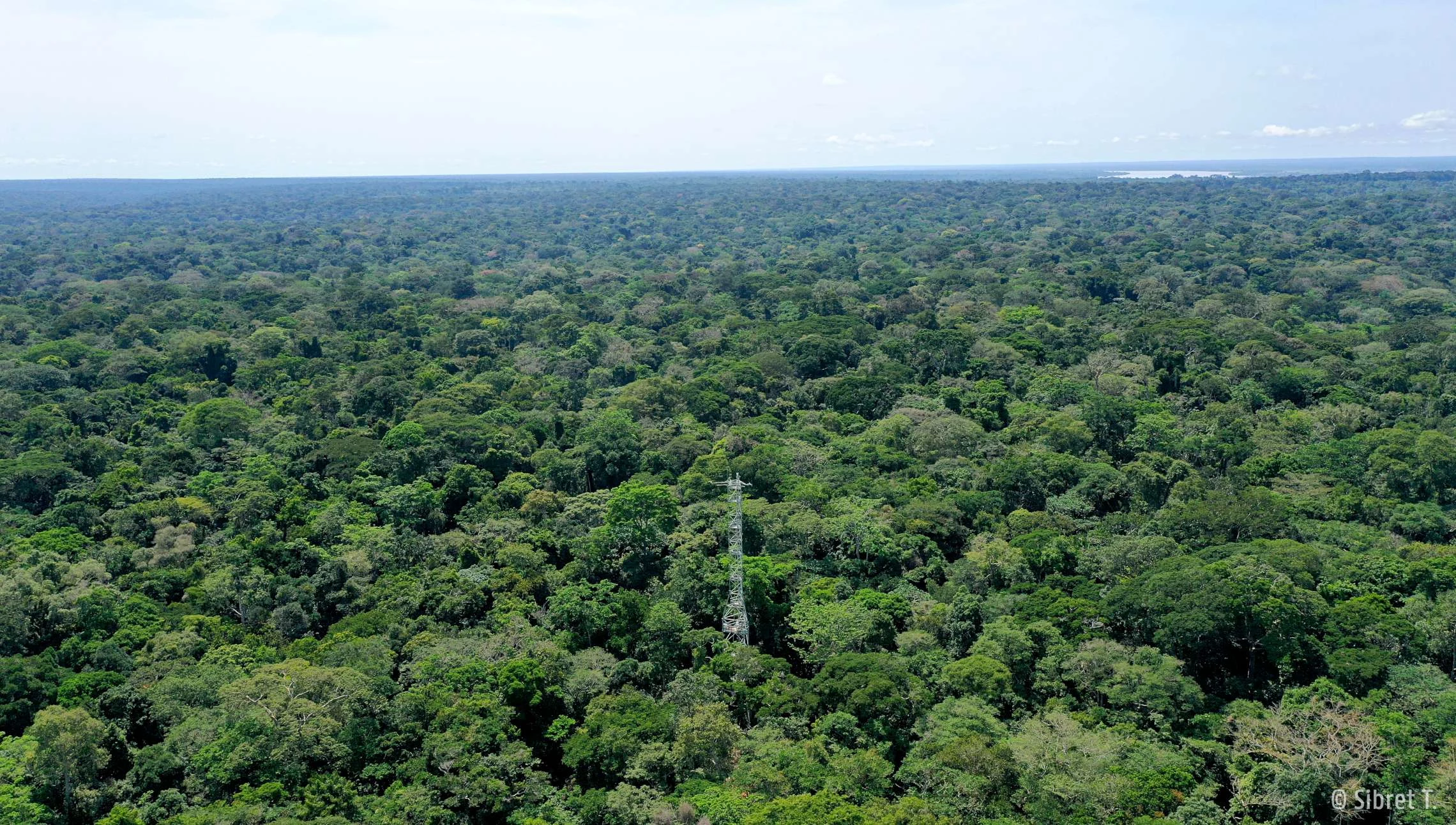
The CD-Ygb is situated near the UNESCO Man and Biosphere reserve (MAB) of Yangambi [0°48'52.5"N, 24°30'08.8"E], in the very heart of the Congo Basin, on the bank of the Congo River roughly 100 km northwest of Kisangani, Democratic Republic of Congo. It is located in an old growth mixed-species tropical rainforest.
The Research Center of Yangambi (INERA) has been monitoring meteorological variables for the Yangambi region since the 1930’s. The tower is measuring the first flux measurements of the Congo Basin since October 2020.
Currently the station is operated by UGent (Ghent University, Belgium) in collaboration with INERA (Institut National d’Etudes et Recherches Agronomiques, DRC).
- Associated station
- Tropical rainforest
- Within old growth mixed-species forest area on Ferrasols (Haplic Ferrasols)
- Flux and meteorological data since October 2020
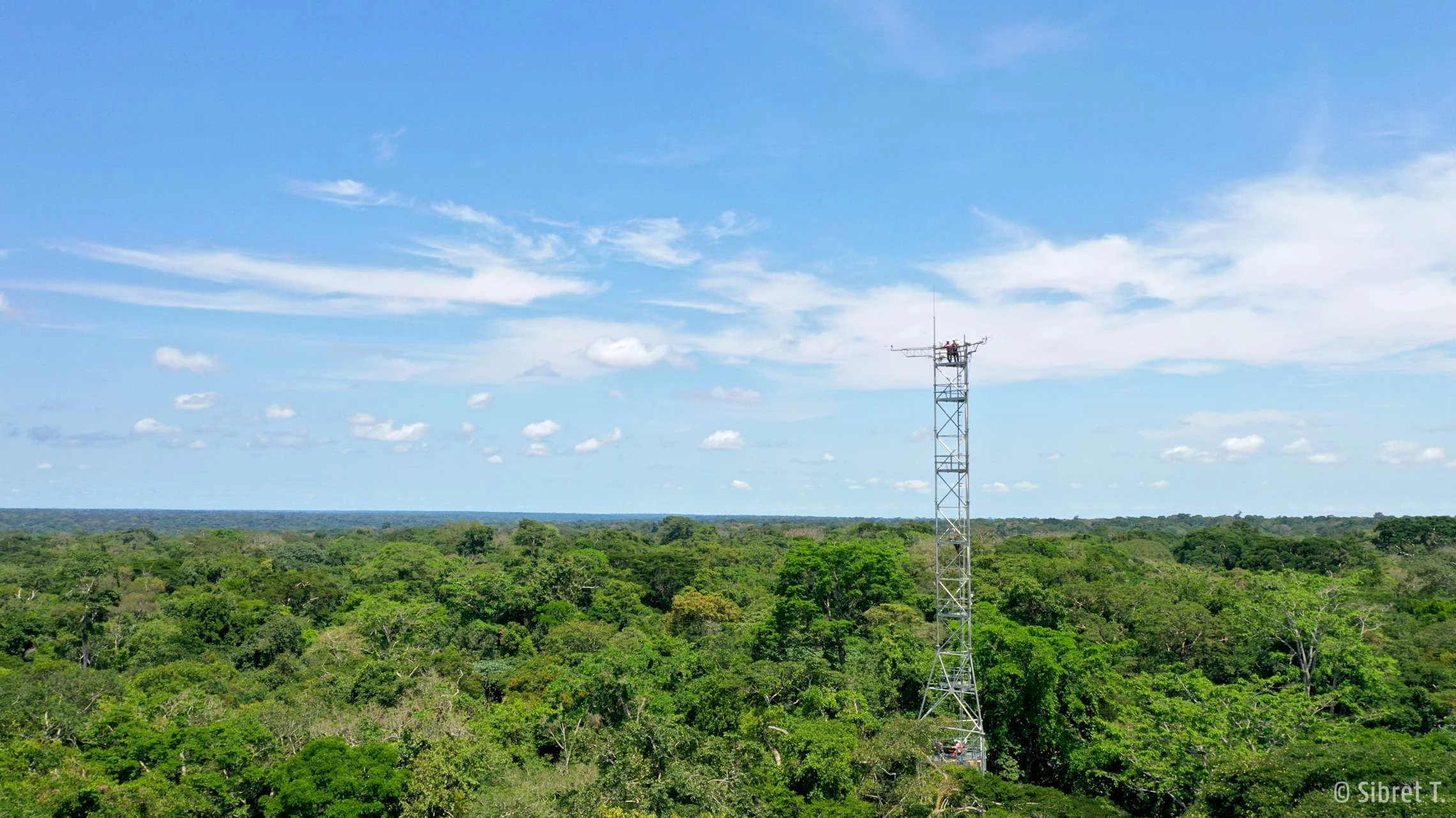
- 55 m high scaffolding tower
- Fluxes measured at 56.25 m (10Hz)
- MAT: 24.5°C // MAP: 1822.19 ±214,8 mm
- Measures Greenhouse gases (CO2, CH4, N2O), ozone, black carbon, NOx and meteorological data.
- Coordinates: 0°48'52.5"N, 24°30'08.8"E
https://www.ugent.be/bw/gct/en/research/isofys/projects/yps-congoflux
https://www.congo-biogeochem.com/congoflux
Co-PI: Prof. dr. Hans Verbeeck (Hans.Verbeeck@UGent.be)
Full dataset: Yangambi (icos-cp.eu)
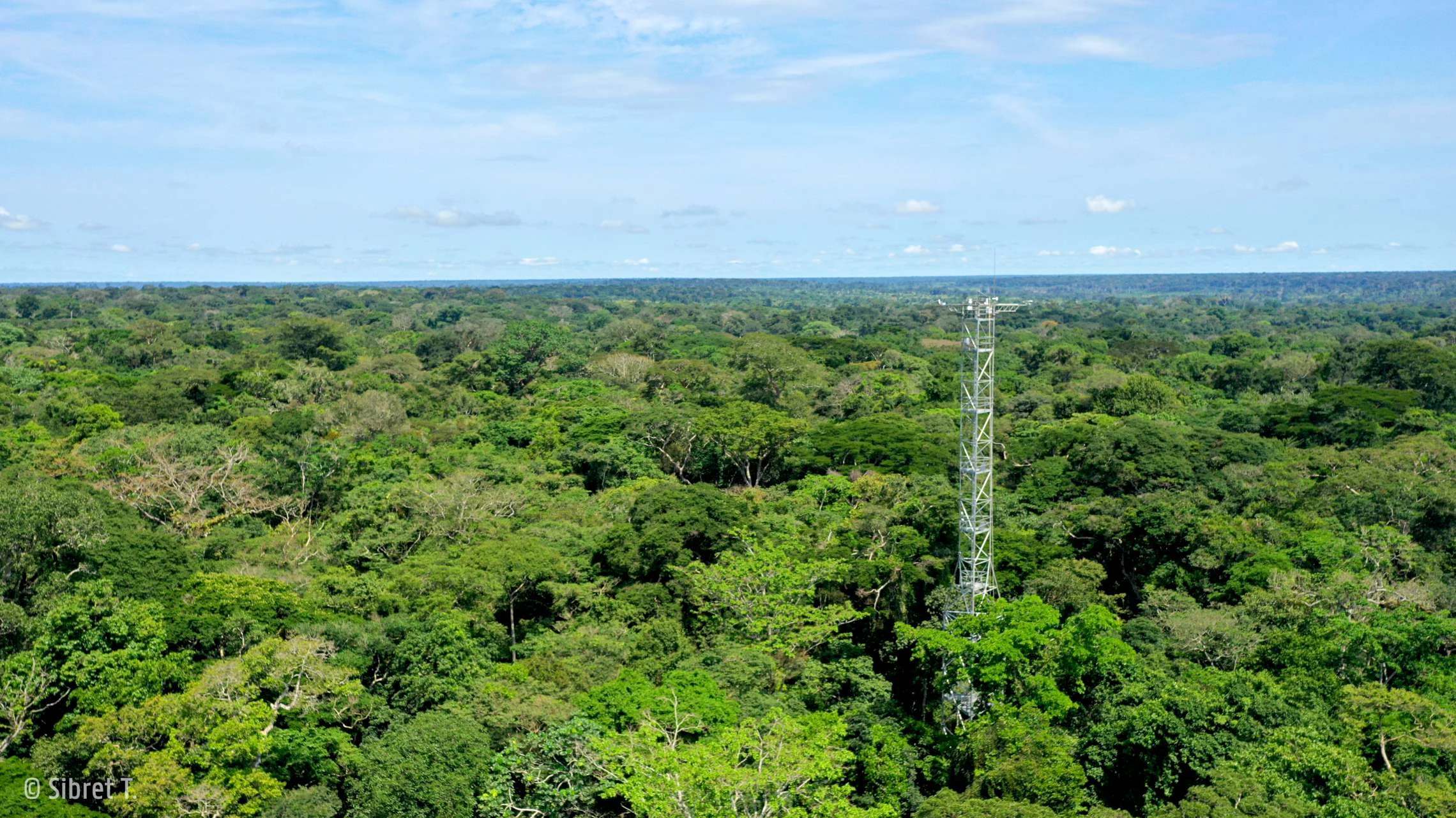
The CongoFlux tower
This structure is now the first of its kind in the Congo Basin to actively effectuate continuous measurements of greenhouse gas exchanges between the forest and the atmosphere while simultaneously collecting high quality meteorological data for the region (Yangambi, DRCongo). These data will help us improve our understanding on the role of the Congo Basin forests in Climate Change. Funded through the 10th European Development Fund, via financial support of DGD Belgium, this structure has been built by the University of Ghent in collaboration with CIFOR, ERAIFT, R&SD and INERA.

